Ana María Mancho (ICMAT-CSIC) is coordinating the second phase of SIRENA 2, an early-warning system that is becoming increasingly automated in order to anticipate oil spills, red tides and other environmental risks before they reach aquaculture facilities in the Canary Islands.
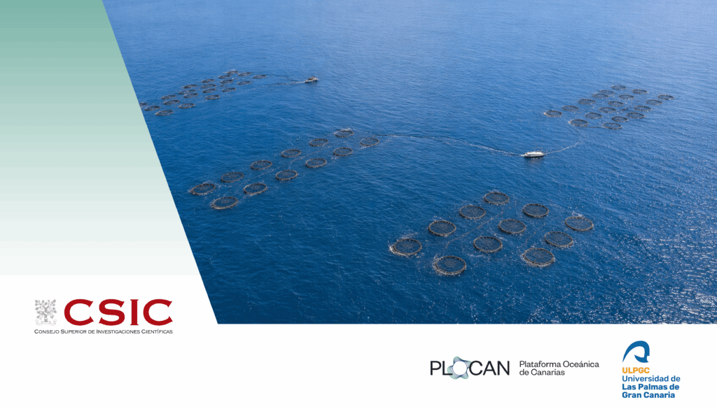
An oil spill out at sea, a red tide advancing without warning towards fish cages, or a cloud of sediment that clouds the water from one day to the next: these are just some of the phenomena that can put an offshore aquaculture facility at risk within a matter of hours. Detecting them in time, before they arrive, is precisely the challenge taken on by SIRENA 2, an initiative coordinated by Ana María Mancho, a researcher at the Spanish National Research Council (CSIC) at ICMAT. To this end, the team is combining satellite imagery, artificial intelligence and high-resolution hydrodynamic models, which make it possible to anticipate this type of marine threat.
The second part of the project officially got under way last week and will run between 2026 and 2027. Under the name Comprehensive Remote System with New Tools for the Monitoring, Detection and Prediction of Risks from Potentially Harmful Marine Events of Natural or Anthropogenic Origin in Offshore Areas Used for Aquaculture, the initiative continues on from the SIRENA project, which came to an end in early 2026.
This new phase aims to “consolidate and expand the tools developed for environmental monitoring of aquaculture facilities, increase their degree of automation and facilitate their transfer to the production sector, public administrations, the scientific community and society”, according to the project spokespeople.
Advanced monitoring through satellites and artificial intelligence
One of the central pillars of SIRENA 2 will be “the optimisation of the automatic system for identifying environmental risks in the vicinity of farming areas”, they state. “To achieve this, the research team will use remote sensing imagery from the European Sentinel satellite constellation”, they add.
This information will be processed automatically through spatial segmentation and artificial intelligence models based on deep learning. The results will then feed into the mathematical models used to predict the evolution and movement of these threats.
“To ensure the system’s reliability, satellite observation will be directly complemented by on-the-ground measurements. In addition to traditional oceanographic surveys, SIRENA 2 will incorporate state-of-the-art technology through the deployment of autonomous platforms, buoys and surface vehicles”, they describe.
This data will make it possible “both to validate and fine-tune the numerical prediction models and to rigorously assess the interactions between aquaculture activity and the coastal ecosystem”, they conclude.
Participating bodies
The Spanish National Research Council (CSIC), through the Institute of Mathematical Sciences (ICMAT), is the coordinating body for the project. Also taking part as beneficiary institutions are the University of Las Palmas de Gran Canaria (ULPGC), through the University Institute for Research in Sustainable Aquaculture and Marine Ecosystems (ECOAQUA) and the University Institute of Cybernetics, Business and Society (IUCES), and the Oceanic Platform of the Canary Islands (PLOCAN).
Joining them are the Gran Canaria Coastal Action Group and the Spanish Aquaculture Business Association (APROMAR), who will be involved in dissemination and knowledge transfer.
The SIRENA2 project is being carried out in collaboration with the Biodiversity Foundation and the Ministry for Ecological Transition and the Demographic Challenge, through the Pleamar Programme, and is co-financed by the European Union via the EMFF (European Maritime, Fisheries and Aquaculture Fund).
Further information
Translation disclaimer: This is an English automatic translation of the original Spanish-language text. In case of any discrepancy, the Spanish version shall prevail.